The Algonquin-Dumoine Corridor
Overview
The Algonquin-Dumoine Corridor campaign is an effort lead by CPAWS-OV to protect an 18 km stretch of land between Algonquin Park and the Dumoine River Aquatic Reserve. In 2008, thanks to the work of CPAWS-OV, the Government of Quebec established the Dumoine river aquatic reserve, a 1,776 kms² protected area encompassing about 1/3 of the Dumoine River watershed. Now, we are going further to connect the two as one large area managed for biodiversity spanning two provinces.
We envision an 18 km pathway between Ontario’s Algonquin Provincial Park and Quebec’s Dumoine River Aquatic Reserve to act as a corridor for animals to migrate while supporting climate action.
Advancing climate action in two provinces by protecting a natural migration highway.
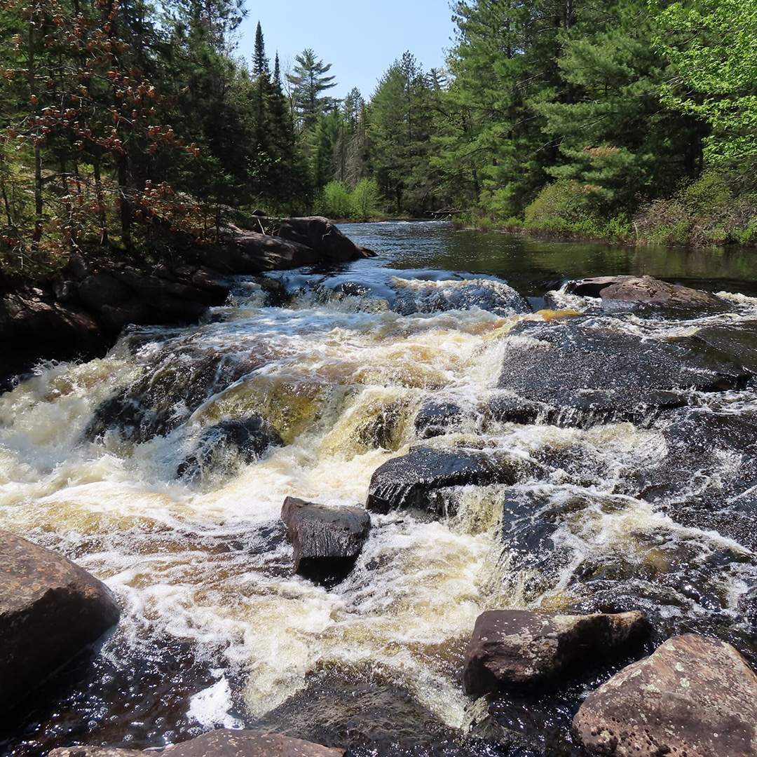
Animals depend on this unprotected gap of wilderness to provide safe travels for them and their young during migration season, but it’s at risk of being destroyed due to the dual biodiversity and climate crises. Protecting this region would allow them to migrate safely year after year, helping them avoid extinction so future generations can experience their majestic presence in our communities. Plus, intact forests reduce greenhouse gases and minimize extreme and destructive weather events affecting our communities.
Protecting this vital area for an ecological corridor species at risk can depend on for survival also positions the provinces of Ontario and Quebec as leaders in climate action and Canada’s efforts to protect 30% of lands and waters by 2030. Currently, less than 11% of the province of Ontario is protected and only about 2% of Renfrew County, protecting the Gap will help make progress toward our conservation targets.
A unique opportunity
Protecting this gap in wilderness would strengthen the Algonquin to Adirondacks Initiative by extending a continentally significant ecological connection running from New York State, through eastern Ontario, into the Boreal Forest of Quebec. This is a once-in-a-lifetime opportunity to create a migratory corridor of this scale in eastern North America and protect species at risk.
Road Ecology Project
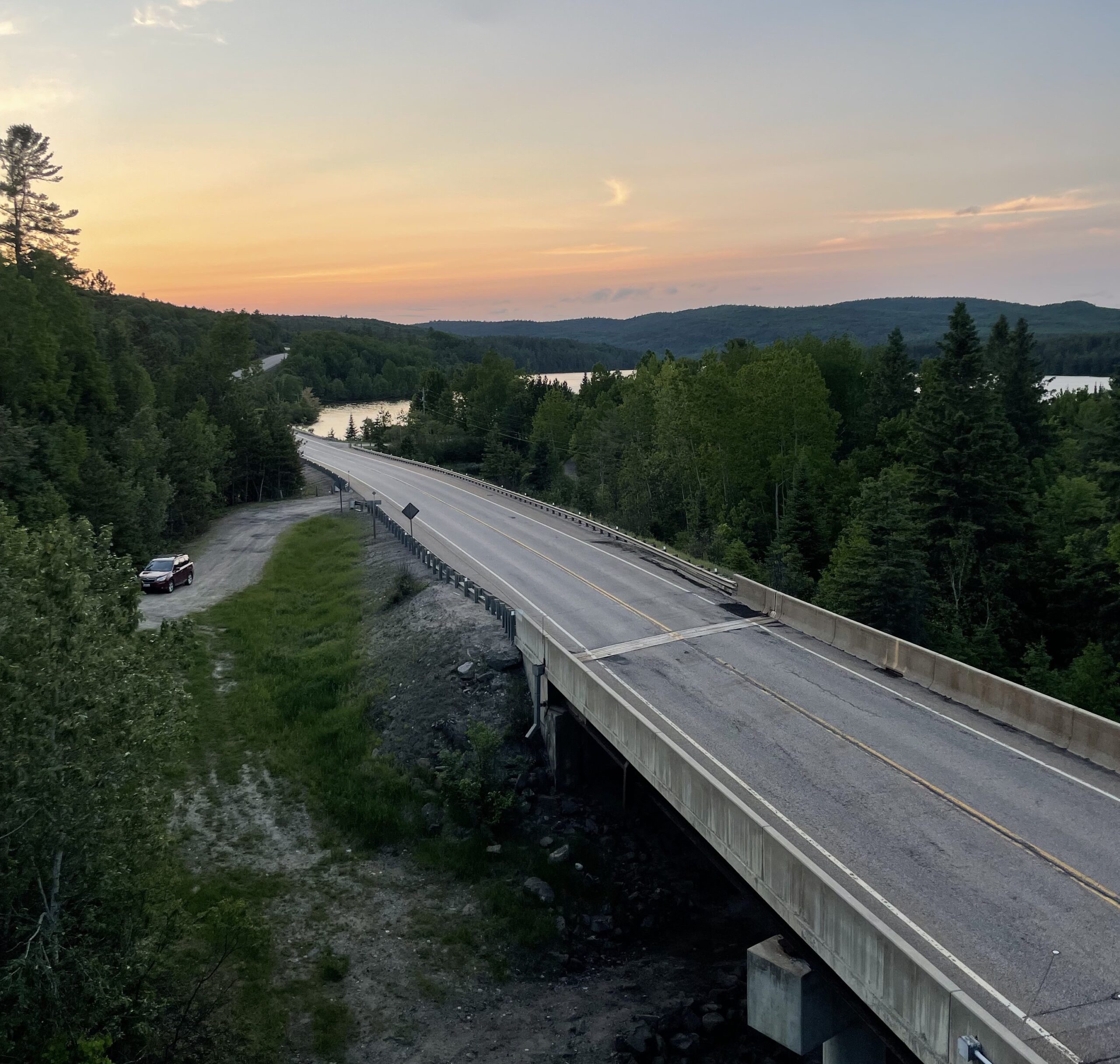
As part of the campaign to protect this crucial ecological corridor, we are conducting a road ecology study along Highway 17 to identify problem areas with high wildlife mortality and propose solutions for safer movement throughout the territory. To collect vital data for the study, CPAWS-OV staff and local volunteers are conducting road surveys each summer from 2025 to 2027 along a 41-km section of Highway 17 and recording their observations of all signs of wildlife, whether they are found alive, injured or having sadly died, on or near the road.
With this information, we can then create a detailed map, identifying patterns and hotspots where mitigation measures could help wildlife travel safely and limit mortality rates.