The Gap

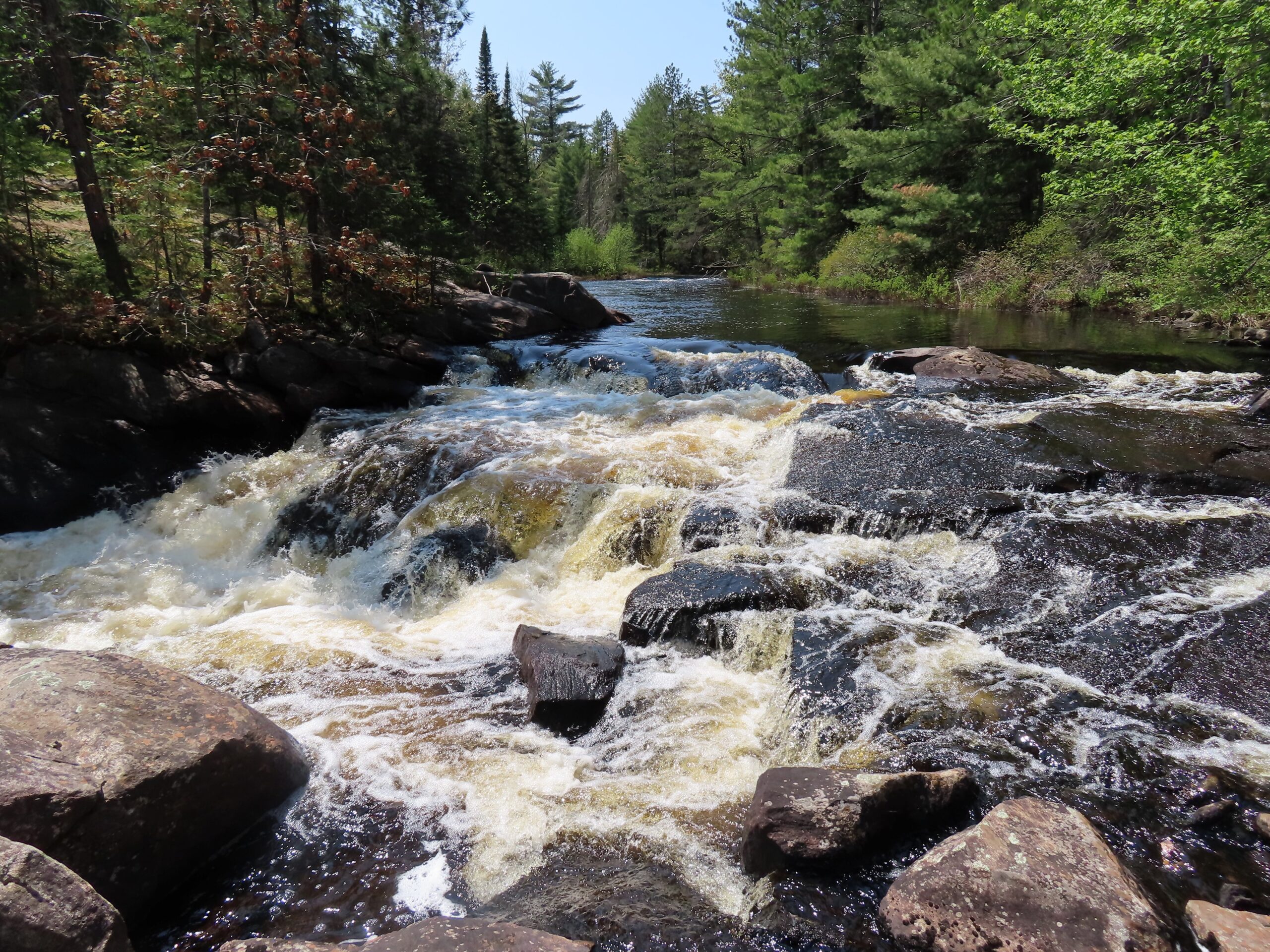
In 2008, thanks to the work of CPAWS-OV, the Government of Quebec established a 1,776 kms² protected area encompassing about 1/3 of the Dumoine River watershed: the Dumoine River Aquatic Reserve. CPAWS-OV also strives for better protections and management of Algonquin Provincial Park, and now we’re working to connect the two as one large area managed for biodiversity spanning two provinces.
We envision an 18 kms pathway between Ontario’s Algonquin Provincial Park and Quebec’s Dumoine River Aquatic Reserve to act as a corridor for animals to migrate while supporting climate action.
Over 95% of the land is owned by the Province of Ontario with few roads and settlements in the region.
But development, logging, and mining could strip this vital piece of nature from the animals depending on it for survival. Expansions to highway 17 also pose threats to the nature and climate action in the region.
We’re convening Indigenous, provincial and local governments, residents, and other stakeholders to develop a vision to connect the two areas to form what could become a new and larger protected area up to 450 kms² in size – an area larger than Gatineau Park!
Creating a historic migratory pathway for species of plants and animals.
Filling the gap in protection between Ontario’s Algonquin Provincial Park and Quebec’s Dumoine River Aquatic Reserve means safeguarding a nature corridor spanning 18 kms in length and several kms wide that species at risk depend on for their annual winter migrations.
Protecting this gap in wilderness would strengthen the Algonquin to Adirondacks Initiative by extending a continentally significant ecological connection running from New York State, through eastern Ontario, into the Boreal Forest of Quebec.
This is a once-in-a-lifetime opportunity to create a migratory corridor of this scale in eastern North America and protect species at risk.
Advancing climate action in two provinces by protecting a natural migration highway
Animals depend on this unprotected gap of wilderness to provide safe travels for them and their young during migration season, but it’s at risk of being destroyed due to the dual biodiversity and climate crises.
Protecting this region would allow them to migrate safely year after year, helping them avoid extinction so future generations can experience their majestic presence in our communities.
Plus, intact forests reduce greenhouse gases and minimize extreme and destructive weather events affecting our communities. This includes flooding, which could destroy homes if old growth and mature forests throughout the region are destroyed.
Protecting this vital area for an ecological corridor species at risk can depend on for survival also positions the provinces of Ontario and Quebec as leaders in climate action and Canada’s efforts to protect 30% of lands and waters by 2030. Currently, less than 11% of the province of Ontario is protected and only about 2% of Renfrew County, protecting the Gap will help make progress toward our conservation targets.
What we’re doing to make this a reality
Our team is working across 2023-2024 to identify and characterize an optimal corridor for species at risk and collect data on conservation, cultural, and recreation values of the region.
We support Indigenous communities and leadership to identify, create, and manage protected areas and ecosystems. This is why we’re engaging the community of Pikwakanagan and the Algonquins of Ontario to explore opportunities for Indigenous leadership in our work to safeguard the region. Respecting the sovereignty and leadership of Indigenous nations and supporting Indigenous-led conservation will ensure a future for nature.
Stay informed
Our work on this project is still underway. You can subscribe to our newsletter to stay up to date on project successes as we fight to protect this gap in wilderness to create a continentally significant ecological corridor.

